Interested in hiking Camino de Santiago in Spain? Researching Camino de Santiago routes: which is the best Camino route, which is the most scenic Camino de Santiago route, which is the shortest Camino route, and which is the longest Camino route?
Looking for the Camino de Santiago route that would suit you the best? If so, let me help you to find the best Camino de Santiago route for you. Check out my overview of the most popular Camino de Santiago routes.
THIS POST MAY CONTAIN COMPENSATED LINKS. PLEASE READ MY DISCLAIMER FOR MORE INFO.
I’ve hiked Camino del Norte, Camino Via de La Plata from Salamanca via Camino Sanabres, and Camino a Finistere.
Before embarking on each of my Camino I did thorough research on various Camino de Santiago routes. If you are planning to hike Camino de Santiago, I hope this wrap-up of the most popular Camino de Santiago routes will help you decide on which Camino route to take! Here you can read also about the best time to do the Camino de Santiago depending on which Camino route you choose.
After choosing the Camino route, I suggest reading my Camino de Santiago packing list which will help you prepare for your Camino adventure.
Camino de Santiago trails
CAMINO DE SANTIAGO ROUTES
El Camino routes: Santiago de Compostela routes
Contrary to popular belief, Camino de Santiago is not one route.
Camino de Santiago never was only one route. Pilgrims arrived at Santiago from different directions (different parts of Spain, Portugal, France, and northern Europe …) and walked different Camino de Compostela routes on their way to Santiago.
Thus, Camino de Santiago (the Way of St James) is a network of routes across Europe leading to the tomb of St James Apostle in the Cathedral of Santiago de Compostela in Galicia in Spain.
Popular Camino Frances might be a synonym for Camino de Santiago in modern times. But, you might enjoy some other Camino de Santiago routes.
Most popular Camino de Santiago routes:
1. Percentage of pilgrims who walk Camino Frances: 55 %
2. Percentage of pilgrims who walk Portuguese: about 20%
3. Percentage of pilgrims who walk Camino del Norte: about 6%
4. Percentage of pilgrims who walk Portuguese da Costa: about 5%
5. Percentage of pilgrims who walk Camino Primitivo: about 5 %
6. Percentage of pilgrims who walk Camino Ingles: between 4-6%
7. Percentage of pilgrims who walk Via de La Plata: about 3%
8. Percentage of pilgrims who walk Camino Invierno: about 0,5 %
9. Percentage of pilgrims who walk Camino Sanabres: less than 0.5%
10. Percentage of pilgrims who walk Camino Mozarabe: a few hundred pilgrims a year
11. Percentage of pilgrims who walk Camino a Fisterra: 1 % of all pilgrims who reach Santiago
12. Percentage of pilgrims who walk Camino a Fisterra: 1 % of all pilgrims who reach Santiago
So, here’s an overview of the most popular Camino de Santiago routes:
1. Camino del Norte – the most beautiful Camino de Santiago route & most scenic Camino route
Starting point: Irun in the Basque Country, Spain
Finishing point: Santiago de Compostela in Galicia, Spain
Camino del Norte length: 514 mi (828 km)
Camino del Norte etapas: 36 etapas (stages) in total
Camino del Norte days: 30-34 days on average
Camino del Norte total elevation gain: 57303 ft (17.5 km)
Camino del Norte total elevation loss: 79382 ft (24.2 km)
Camino del Norte average elevation per km: 324 ft (98.7 m)
Camino del Norte best time to go: July-August
Camino del Norte type of pilgrims: beach lovers, foodies, true hikers, solitude seekers
Percentage of pilgrims who walk Camino del Norte: about 6%
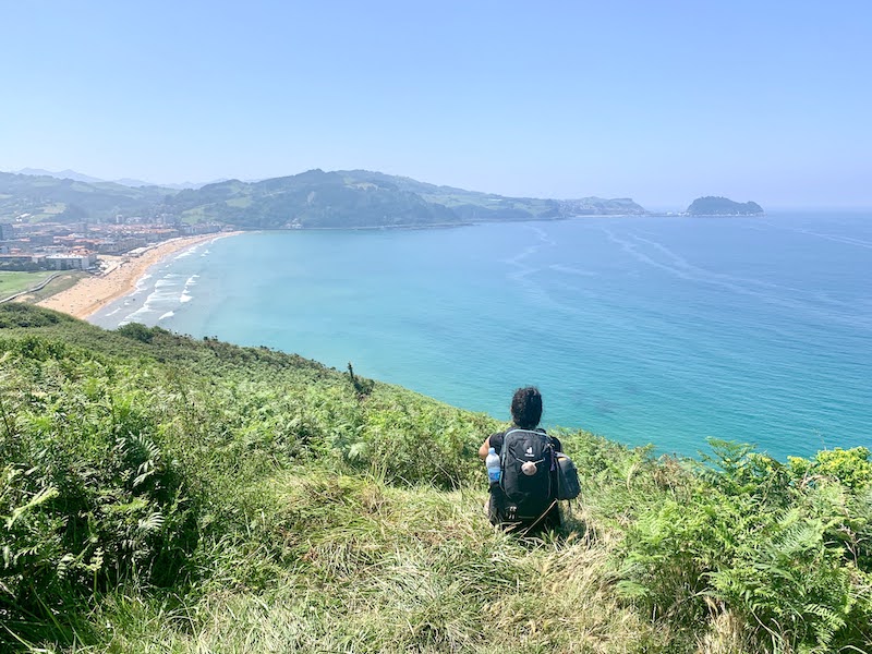
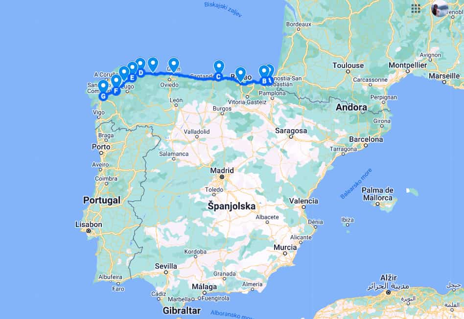
Camino del Norte or the Northern Way of Camino de Santiago goes from Irun via San Sebastian, Bilbao, Santander, and Gijon to Santiago de Compostela.
This Camino de Santiago route was historically taken by pilgrims coming to Santiago de Compostela from Northern Europe.
Camino del Norte is a coastal Santiago de Compostela route. This Camino de Santiago path goes along the coast of northern Spain from the Basque Country via Cantabria, Asturias to inland Galicia. Camino de Santiago del Norte is the Camino de Santiago most scenic route.
Camino del Norte is considered the most beautiful Camino de Santiago route. It is a moderately challenging hiking trail (more difficult than Camino Frances for instance).
Camino del Norte is a UNESCO World Heritage Site.
Where to fly to start Camino del Norte?
The nearest airport to Irun is Biarritz-Pays Basque Airport. There are direct daily buses from the airport to Irun.
READ MORE: Camino del Norte
Camino del Norte map
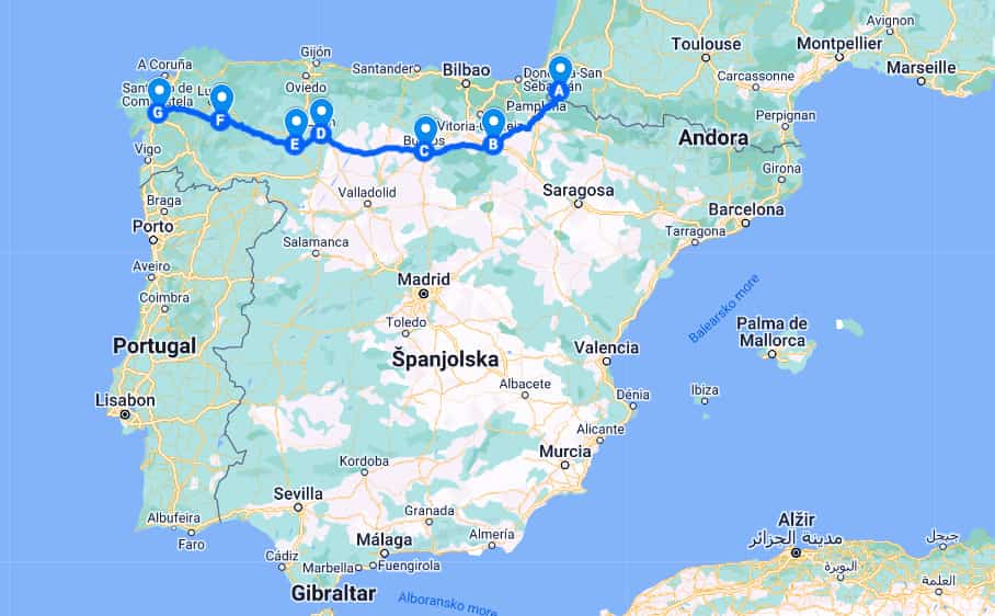
2. Camino Frances – the most famous Camino de Santiago route
Starting point: Saint-Jean-Pied-de-Port in the Basque Country, France
Finishing point: Santiago de Compostela in Galicia, Spain
Camino Frances length: 777 km
Camino Frances etapas: 33 stages in total
Camino Frances days: 30-35 days in total
Camino Frances min/max elevation: 249 m / 1512 m
Camino Frances elevation gain/loss: 4849 m /-4089 m
Camino Frances best time to go: April – June, and September – October
Camino Frances type of pilgrims: first-time Camino walkers, history buffs, social butterflies
Percentage of pilgrims who walk Camino Frances: 55 %
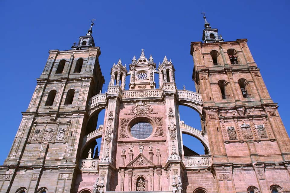
Camino Frances or the French Way of Camino de Santiago goes from Saint-Jean-Pied-de-Port via Logrono, Burgos, Leon, Astorga, and Sarria to Santiago de Compostela.
This Camino de Santiago route was historically taken by pilgrims coming to Santiago de Compostela from France.
Camino Frances is a synonym for Camino de Santiago, although it is not the oldest route (the oldest Camino de Santiago route is Camino Primitivo from Oviedo).
Camino Frances is the most famous, most popular, but also the most crowded Camino de Santiago route. It especially gets crowded in Sarria (the last 100 km of the route, a prerequisite for obtaining a Compostela certificate).
Camino Frances has also the best infrastructure (many pilgrims’ hostels, bars, restaurants, shops… along the route) of all of the Camino de Santiago routes. Camino Frances is one of the easiest Camino de Santiago routes to hike. Therefore, this Camino de Santiago de Compostela route is recommended for first-time Camino goers. Camino de Santiago French Way is the best Camino route for beginners.
Camino de Santiago Frances is a UNESCO World Heritage site.
Where to fly to start Camino Frances?
Biarritz-Pays Basque Airport is the nearest airport to Saint-Jean-Pied-de-Port.
Fly to Biarritz-Pays Basque Airport and then take a bus from the airport to Saint-Jean-Pied-de-Port.
Camino Frances map
3. Camino Via de La Plata – the epic Camino de Santiago route
Starting point: Seville in Andalucia
Finishing point: Astorga in Leon (in Astorga the route joins Camino Frances)
Camino Via de La Plata length: 702 km (+ 283 km from Astorga to Santiago via Camino Frances)
Camino Via de La Plata etapas: 37 stages in total
Camino Via de La Plata days: 7 weeks on average
Camino Via de La Plata min/max elevation: 5 m / 1147 m
Camino Via de La Plata elevation gain/loss: 7857 m / – 6995 m
Camino Via de La Plata best time to go: April, May, and October
Camino Via de La Plata type of pilgrims: solitude fans, inner journey seekers, long-distance trails lovers, Camino veterans (pilgrims who already walked one or more Camino routes)
Percentage of pilgrims who walk Via de La Plata: about 3%
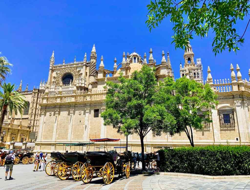
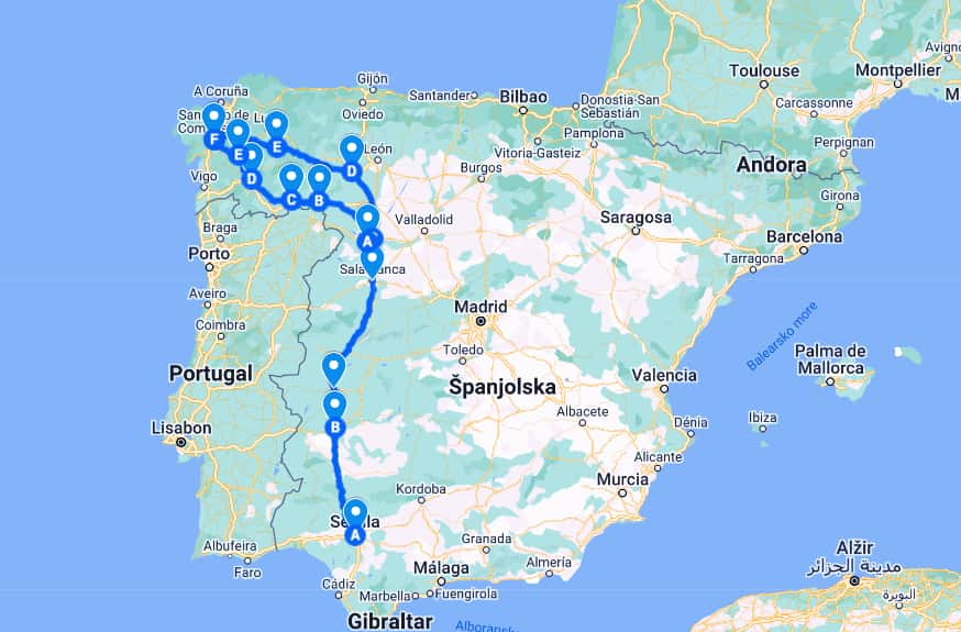
Camino Via de La Plata, or the Silver Way, goes from Seville via Merida, Mérida, Cáceres, Salamanca, Zamora, and Ourense to Santiago.
Camino Via de La Plata is one of the longest Camino de Santiago routes (along with Camino Mozarabe).
This Camino de Santiago pilgrimage route is one of the most difficult Camino de Santiago routes (along with Camino Primitivo). In spite of being mostly flat, the route is known for long walking stages, no facilities between the stages, strong summer heat, and lots of solitude.
Where to fly to start Camino Via de La Plata?
Seville International Airport (San Pablo Airport).
READ MORE: Via de la Plata
Camino Via de La Plata map
4. Camino Sanabres – a historic end of Camino Via de La Plata and Camino Mozárabe
Starting point: Granja de Moreruela in Castilla y Leon
Finishing point: Santiago de Compostela in Galicia
Camino Sanabres length: 234 mi (378 km)
Camino Sanabres etapas: 13 stages in total
Camino Sanabres days: 2 weeks
Camino Sanabres min/max elevation: 55 m/1356 m
Camino Sanabres elevation gain/loss: 7234 m/-7689 m
Camino Sanabres best time to go: April-June, September-October
Camino Sanabres type of pilgrims: crowds-avoiding nature lovers
Percentage of pilgrims who walk Camino Sanabres: less than 0.5%
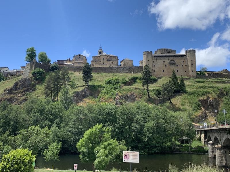
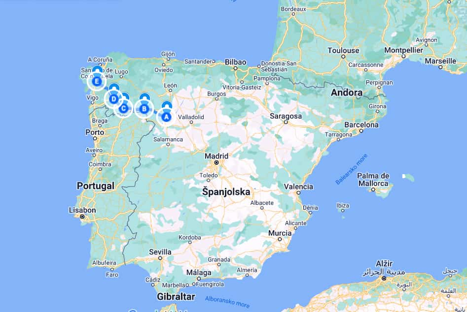
Camino Sanabres or the Sanabres Way goes from Granja de Morerula via Puebla de Sanabria, Laza, Ourense to Santiago.
Where to fly to start Camino Sanabres?
Salamanca Airport is the nearest airport to Granja den Moreruela. Granja de Moreruela is 1 hour and 20 min by bus from Salamanca.
Flying to Madrid-Barajas Airport is also a good option for reaching Granja de Moreruela. Granja de Morerula is also 30 min by bus from Zamora, and Zamora is only 1 h by train from Madrid.
READ MORE: Camino Sanabres
Camino Sanabres map
5. Camino Portuguese Central – a historic Camino de Santiago route
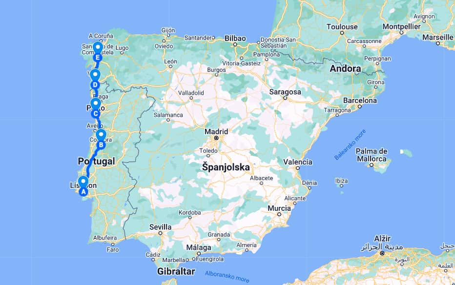
Starting point: Lisboa in Portugal
Finishing point: Santiago de Compostela in Spain
Camino Portuguese Central length: 620 km
Camino Portuguese etapas: 26 stages in total
Camino Portugues days: 25 days on average to walk the entire route
Camino Portuguese min/max elevation: -10 m / 475 m
Camino Portuguese elevation gain/loss: 12149 m/ -11923m
Camino Portuguese best time to go: May, June, and September (wet weather starts in mid-October)
Camino Portuguese type of pilgrims: first-time Camino walkers, social butterflies, foodies
Percentage of pilgrims who walk Portuguese: about 20%
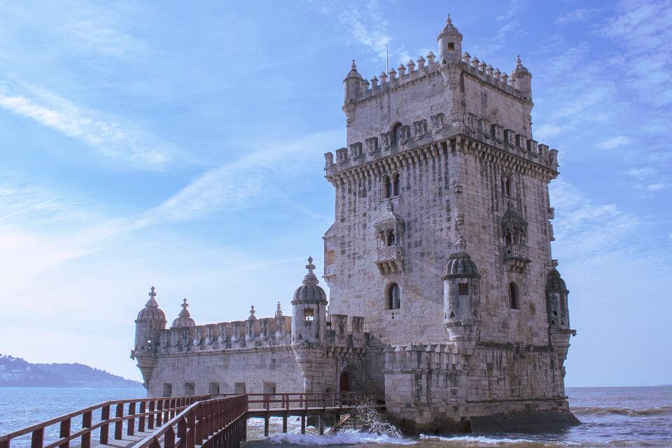
Camino Portugues Central goes from Lisboa to Coimbra, Porto, Tui to Santiago.
It is one of the most important historic Camino de Santiago routes, traditionally traveled by pilgrims coming from Portugal. It is one of the most popular Camino de Santiago routes as well.
Where to fly to start Camino Portuguese Central?
Lisbon International Airport.
Camino Portuguese Central
6. Camino Portuguese da Costa – one of the most beautiful Camino de Santiago routes
Starting point: Porto in Portugal
Finishing point: Santiago de Compostela
Camino Portuguese da Costa length: 260 km
Camino Portuguese da Costa etapas: 13 stages in total
Camino Portugues Coastal days: 2 weeks
Camino Portuguese min/max elevation: 0m / 256 m
Camino Portuguese elevation gain/loss: 4283 m / -4089 m
Camino Portuguese best time to go: May, June, and September (summer is too hot, winter is wet and cold)
Camino Portuguese type of pilgrims: beach lovers, first-time Camino walkers (less crowded than Camino Frances and less physically challenging than Camino del Norte), foodies (Portuguese food, Porto and Albarino wine), social butterflies
Percentage of pilgrims who walk Portuguese da Costa: about 5%
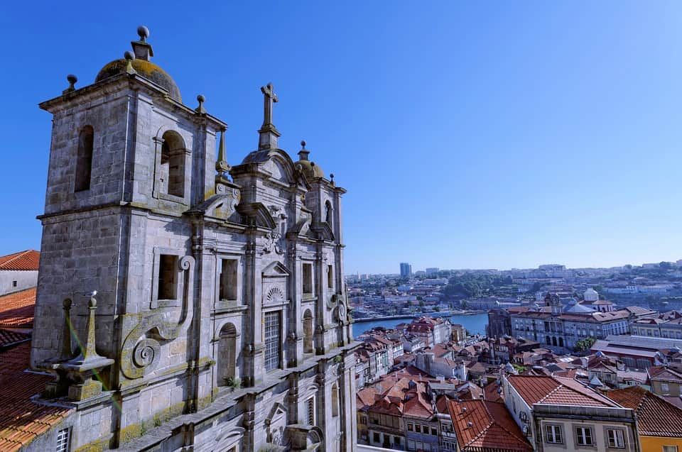
Camino Portuguese da Costa, Camino Portuguese Coastal, or Camino Portugues de la Costa, goes from Porto via Tui to Santiago.
It belongs to the coastal Camino de Santiago routes, along with Camino del Norte.
Camino Portuguese Coastal route from Porto to Santiago de Compostela is the second most popular Camino de Santiago route (after Camino Frances).
Where to fly to start Camino Portuguese da Costa?
Porto International Airport (Francisco Sá Carneiro Airport)
How long is the Camino from Porto to Santiago?
The Camino from Porto to Santiago is 162 mi (260 km).
Camino Portuguese da Costa map
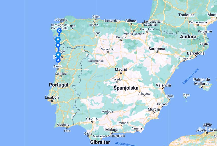
7. Camino Inglese – the shortest Camino de Santiago route
Starting point: Ferrol in Galicia
Finishing point: Santiago de Compostela in Galicia
Camino Inglese length: 115 km
Camino Inglese etapas: 5 etapas from Ferrol (4 etapas from A Coruna)
Camino Inglese days: 5 days
Camino Inglese min/max elevation: 0 m / 461 m
Camino Inglese elevation gain/loss: 2855 m / -2610 m
Camino Inglese best time to go: March – mid-November
Camino Inglese type of pilgrims: to experience Galician culture, for people who have available only a short time for the Camino
Percentage of pilgrims who walk Camino Ingles: between 4-6%
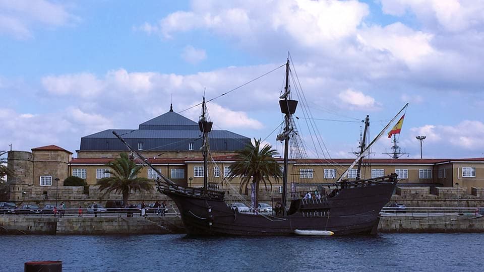
Camino Inglese or the English Way goes from Ferrol or A Coruna to Santiago.
It is a historical Camino de Santiago route traveled by pilgrims from northern Europe (most notably, England) who arrived by boat to Ferrol or A Coruna in northern Spain, and who from there continued to Santiago by land.
Camino Ingles must be started in Ferrol (not in A Coruna) to be eligible for a Compostela. A Coruna is only 96 km (less than the prerequisite 100 km from Santiago).
Camino Inglese is the shortest Camino de Santiago route and the easiest Camino de Santiago route.
Where to fly to start Camino Inglese?
A Coruña International Airport. Daily flights from Paris Orly, London Gatwick, Barcelona, Madrid…
Camino Inglese map
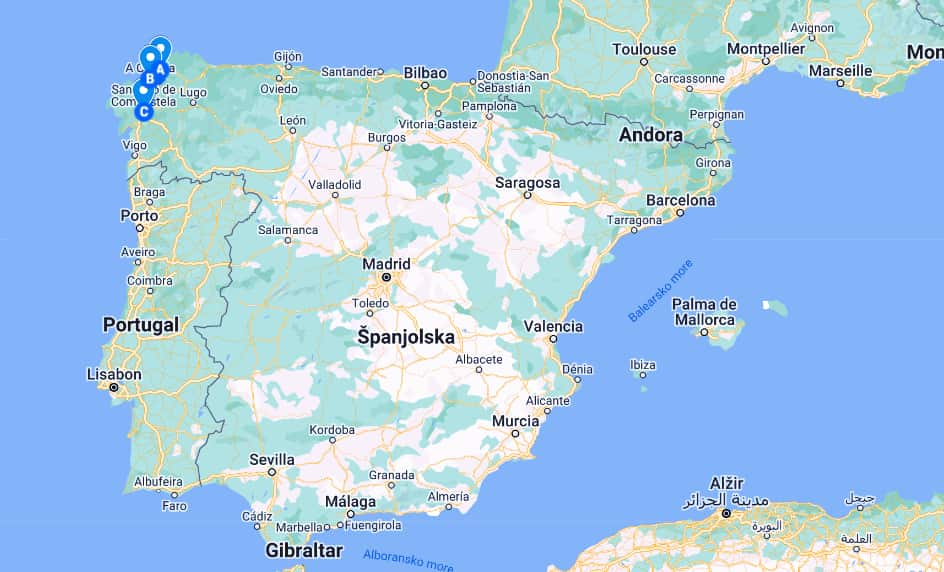
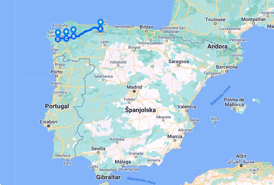
8. Camino Primitivo – the original and the oldest Camino de Santiago route
Starting point: Oviedo in Asturias, Spain
Finishing point: Santiago in Galicia, Spain
Camino Primitivo length: 310 km
Camino Primitivo etapas: 13 etapas in total
Camino Primitivo days: 2 weeks
Camino Primitivo min/max elevation: 40 m / 1216 m
Camino Primitivo elevation gain/loss: 10092 m / – 10076 m
Camino Primitivo best time to go: June – September (to avoid the rain)
Camino Primitivo type of pilgrims: true hikers, nature lovers, history buffs
Percentage of pilgrims who walk Camino Primitivo: about 5 %
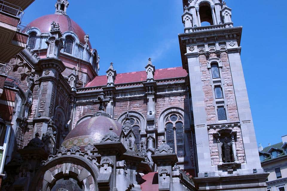
Camino Primitivo or the Primitive Way (also known as the Original Way) goes from Oviedo via Lugo and Melide (where the route joins Camino Frances) to Santiago.
It is the oldest Camino route. This was the first Camino de Santiago route ever walked.
Spanish King Alfonso II of Asturias took this Camino route to Santiago on his pilgrimage journey to Santiago for the first time. He was the first person who made a pilgrimage to Santiago.
Camino Primitivo is one of the most beautiful Camino de Santiago routes (along with Camino del Norte) and one of the most difficult Camino de Santiago routes (along with Camino Via de La Plata) because of the many steep ascents and descents.
Camino Primitivo is a UNESCO World Hertiatge Site.
Where to fly to start Camino Primitivo?
Asturias International Airport.
Camino Primitivo map
9. Camino Mozarabe – the longest Camino de Santiago route
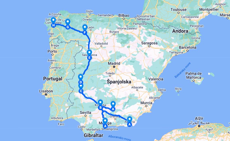
Starting point: Malaga , Almeria or Jaen in Andalusia
Finishing point: Santiago ( it joins Camino Via de la Plata in Merida)
Camino Mozarabe length: 1500 km from Almeria
Camino Mozarabe etapas: 27 etapas until Merida (+28 etapas via Camino Via de La Plata via Ourense)
Camino Mozarabe days: about 10 weeks
Camino Mozarabe best time to go: spring and autumn (avoid the extreme heat in summer)
Camino Mozarabe type of pilgrims: solitude seekers, history buffs (interested in Moorish and Roman history of Spain), foodies (tapas in Granada)
Percentage of pilgrims who walk Camino Mozarabe: a few hundred pilgrims a year
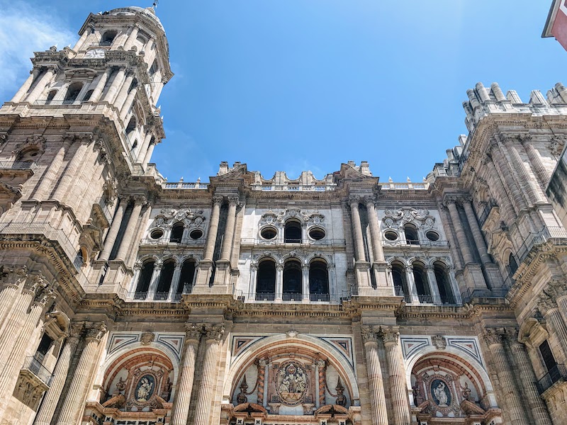
Camino Mozarabe or the Mozarabic Way is also called the Mozarabic Caminos since there are three different starting points (three different starting paths).
The Mozarabic Way can be started in Almeria, Malaga, or Jaen. The paths unite in Cordoba, and from there the Camino Mozarabe route goes to Merida where Camino Mozarabe joins Camino Via de La Plata.
Granada and Cordoba are some of the popular starting points of Camino Mozarabe as well.
Camino Mozarabe is the longest Camino de Santiago route.
Where to fly to start Camino Mozarabe?
Malaga-Costa del Sol International Airport, or Almería International Airport
Camino Mozarabe map
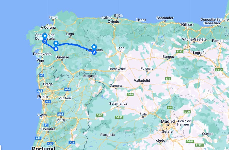
10. Camino Invierno – the historic Templar knights Camino de Santiago route
Starting point: Ponferrada
Finishing point: Santiago de Compostela
Camino Invierno length: 263 km
Camino Invierno etapas: 10 stages in total (the last 2 stages are of Via de La Plata Sanabres)
Camino Invierno days: 10 days in total
Camino Invierno best time to go: spring, summer
Camino Invierno type of pilgrims: solitude fans, nature lovers, off-the-beaten-track Camino enthusiasts
Percentage of pilgrims who walk Camino Invierno: about 0,5 %
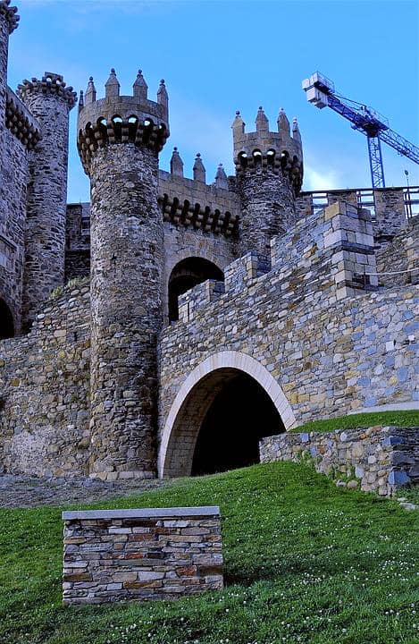
Camino Invierno, or the Winter Way, goes from Ponferrada via Lalin (where the Camino Invierno route joins Via de la Plata Sanabres route) to Santiago de Compostela
The Winter Way is a variant of Camino Frances used by medieval pilgrims to bypass snow-covered O Cebreiro in winter. Historically this Camino de Santiago route was related to Templar knights.
Camino Inverno is walkable all year round, but still, spring and summer are the most preferred seasons for lush green landscapes and pleasant temperatures.
Where to fly to start Camino Invierno?
Santiago-Rosalía de Castro Airport in Santiago de Compostela. And from Santiago take a bus or train to Ponferrada.
Camino Inverno map
11. Camino a Fisterra – the historic end of the Camino de Santiago trail
Starting point: Santiago de Compostela in Galicia
Finishing point: Fisterra in Galicia
Camino a Fisterra length: 90.8 km
Camino a Fisterra etapas: 4 etapas
Camino Fisterra days: 3-4 days in total
Camino a Fisterra min/max elevation: 4m /477 m
Camino a Fisterra elevation gain/loss: 2227 m / -2368 m
Camino a Fisterra best time to go: April-June, September-October.
Camino a Fisterra type of pilgrim: anyone who wants to hike to ‘the End of the World’
Percentage of pilgrims who walk Camino a Fisterra: 1 % of all pilgrims who reach Santiago
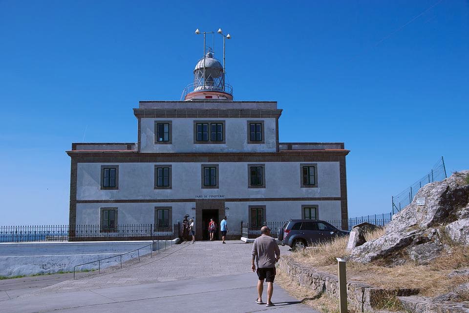
Camino a Finisterre is the final leg of Camino de Santiago that starts in Santiago de Compostela.
Finisterre Lighthouse is the historical end of the Camino de Santiago pilgrimage route in Spain.
Where to fly to start Camino a Fisterra?
Santiago-Rosalía de Castro Airport in Santiago de Compostela
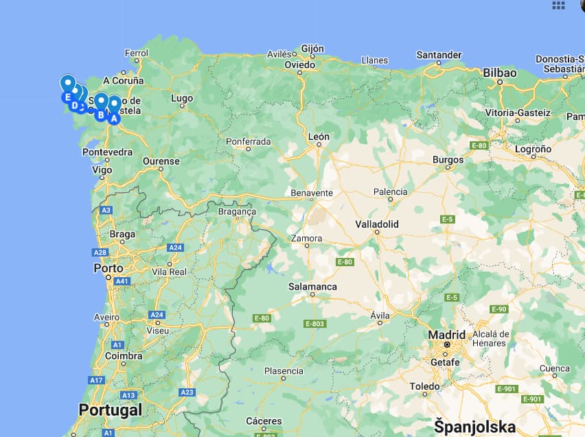
Camino a Fisterra map
12. Camino a Muxia – the alternative end of Camino de Santiago
Starting point: Santiago de Compostela in Galicia
Finishing point: Muxia in Galicia
Camino a Muxia length: 88 km
Camino a Muxia etapas: 4 etapas in total
Camino Muxia days: 3-4 days in total
Camino a Muxia min/max elevation: 5 m /477 m
Camino a Muxia elevation gain/loss: 2239 m / -2480 m
Camino a Muxia best time to go: April-June, September-October.
Camino a Muxia type of pilgrim: anyone who wants to hike to the end place in The Way movie
Percentage of pilgrims who walk Camino a Fisterra: 1 % of all pilgrims who reach Santiago

Muxia is an alternative end to Finisterre.
Muxia is the end place in The Way movie.
Some pilgrims prefer Muxia, and some Finisterre as teh place to finish their Camino de Santiago pilgrimage.
Where to fly to start Camino a Muxia?
Santiago-Rosalía de Castro Airport in Santiago de Compostela
RELATED READ: Packing list Camino de Santiago
Camino Muxia map

Q&A
What is the route of the Camino de Santiago?
Contrary to common belief, there is no single Camino de Santiago route. Camino de Santiago is a network of routes, created by pilgrims coming to Santiago de Compostela from different parts of the world.
The most popular Camino de Santiago route is Camino Frances (the French Way) which starts in Saint-Jean-Pied-de-Port in the Basque country in France.
Some of the most popular Camino de Santiago routes are Camino Portugues (the Portugues Way) which starts in Lisbon in Portugal, Camino del Norte (the Northern Way) which starts in Irun in Spanish Basque Country, Camino Inglese (the English Way) which starts in Ferrol in Galicia, Camino Primitivo (the Primitive Way) which starts in Oviedo in Asturias in Spain, and Via de La Plata (the Silver Way) which starts in Seville in Andalusia in Spain.
What is the best route to walk the Camino de Santiago?
The 5-day-long Camino de Santiago Inglese (the English Way) is the shortest and the easiest Camino de Santiago route.
The famous Camino de Santiago Frances (the French Way) is the most popular Camino de Santiago route and one of the less demanding Camino de Santiago routes. It is recommended for first-time Camino goers.
Popular Camino de Santiago Portugues (the Portuguese Way) from Lisbon is one of not so difficult Camino de Santiago routes which is also recommended for first-time Camino pilgrims.
Coastal Camino de Santiago del Norte (the Northern Way) which follows the coast of Northern Spain is the most beautiful Camino de Santiago route and one of the most difficult Camino routes. It is recommended for nature lovers and foodies.
Hilly Camino de Santiago Primitivo (the Primitive Way) is recommended for nature lovers and true hikers.
Challenging Camino Via de La Plata (the Silver Way) is recommended for solitude seekers and history buffs.
Which Camino route is the most beautiful?
The most beautiful Camino route is arguably Camino del Norte. It is a coastal Camino route that follows the coast of northern Spain. Camino del Norte goes from the Basque Country, across Cantabria and Asturias to Galicia. Camino de Santiago del Norte is the most scenic route that goes across long sandy beaches, breathtaking sea cliffs, pristine green hills, vast vineyards, charming fishing villages, pretty tourist seaside towns, picturesque medieval towns, and gorgeous cities (like San Sebastian, and Bilbao).
Which Camino route is the easiest?
The Camino Inglese is the Camino de Santiago easiest route. It takes only 5 days to hike Camino Inglese. Camino Ingelse goes only across Galicia. It starts in the city of Ferrol on the northern coast of Galicia.
What is the shortest Camino route?
The Camino Inglese (the English Way) is the shortest Camino route. The Camino Inglese is only 115 km long and it takes only 5 days to walk the entire route.
What is the most popular Camino route?
The Camino Frances (the French Way) is the most popular Camino route. 55% of pilgrims who walk the Camino de Santiago choose Camino Frances which starts in Saint-Jean-Pied-de-Port. The second most popular Camino route is Camino Portuguese Central which starts in Lisbon. 20% of Camino de Santiago pilgrims walk Camino Portuguese Central.
Which is the most scenic Camino route?
Camino del Norte (the Northern Way) is the most scenic Camino route. Camino del Norte follows the green northern coast of Spain. The Camino del Norte route goes across long sandy beaches, breathtaking sea cliffs, pristine green hills, vast vineyards, charming fishing villages, pretty tourist seaside towns, picturesque medieval towns, and gorgeous cities (like San Sebastian, and Bilbao).
What is the hardest Camino route?
While hilly Camino Primitivo is a physically challenging Camino route, the hardest Camino route is Via de la Plata. Via de la Plata is known for its long-distance etapas (stages) with no trees to give any shade and protection from the sun and no hospitality facilities. There were some pilgrims’ deaths on the Via de la Plata route in the past because of the strong sun in July and August. Pilgrims on Via de la Plata need to bear up with strong sun, carry lots of water along, and be ready for lots of solitude. Vis de la Plata is considered the most spiritual Camino route as there are not many ‘distractions’ (no many people, no many facilities) along the way.
- Is This the Most Breathtaking Spot in Sicily? Guide To Visiting Scala dei Turchi - July 14, 2025
- Planning a Trip to Sicily? Don’t Skip Agrigento (Here’s Why It’s Italy’s Capital of Culture 2025) - July 10, 2025
- Unlock the Secrets of the Valley of the Temples: A Curated Guide to Sicily’s Most Iconic Landmark! - July 8, 2025


Hey!! thanks for the insights
would it be possible for you to share a map showing your interim stops or preferred route.
Google map allows that
will be helpful …seeing the visual replica of the text?
what a great help in consideration process… I wonder if I can expect a bit more ideas as I am going for first time and really looking for deep separation. Is it safe to do de Plata with very basic Spanish language? I prefer going in April as I know weather is ok at that time here and I am quite fit person, having this break for my solitude after decades ….
I would like to sleep outside. But then – telephone charging, snacks or meals on the way – are there places to stop buy for this in de Plata?
I would be so grateful for this essential support in my decision.
to add… I lost my dearest Friend true hiker in Mounts of California exactly year ago, April 18. And wish to mention His Memorium in Mountains .. de Norte would suit most I feel, because of its Aura, but it means I have to wait till June.. The conditions in April there are not moderate, right?
So I choose between those two.
One is in one time, another in another.
Giedre, Lithuania
inHi!
Thanks for reading my post.
April is a great month to start walking Camino Via de la Plata.
Last year I walked Via de la Plata from Salamanca to Santiago from the end of May until the end of June. On the route I met pilgrims who started walking Via de la Plata is Seville in April.
If you decide to walk Via de la Plata in Seville , you will need to walk about 2 months from Seville to Santiago.
In Seville go to Seville Cathedral to get your pilgrim’s passport (credentials).
You can read more about Via de La Plata here https://www.worldtravelconnector.com/la-via-de-la-plata-camino/
Regarding charging your phone, snacks, meals … you will go through villages and towns on your route. You can always buy some snacks and drinks in bars and stores in the villages on the route. Take a power bank with you to charge your phone.
But you can charge your phone in coffee bars in villages on your route when you make breaks for breakfast or lunch.
So sorry to read about losing your dear friend. May he rest in peace.
Camino del Norte follows the northern coast of Spain, which is a rainy part of the country. Summer is the season when northern Spain gets the least of rain. So, indeed , you would need to wait until June to get a favorable weather for walking Camino del Norte.
Sine you said, your friend was a true hiker, I believe he would have enjoyed Camino Primitivo which goes through hills of Asturias and Galicia. It takes only 12 days to walk Camino Primitivo from Oviedo in Asturias to Santiago in Galicia.
Some people walk Camino del Norte from Irun to Oviedo and then switch in Oviedo to Camino Primitivo on the way to Santiago.
However, you would need to wait until June to get a favorable weather for walking Camino del Norte and Camino Primitivo.
Camino routes might seem complicated when you read about them. But trust me, just start waking and you will find your way to Santiago. There’s an expression that says ‘ Camino provides’ . Camino provides everything that a pilgrim might need on their way.
So, don’t worry, start walking your Camino and the Camino will provide everything you need!
Buon Camino!
Milijana
@Milijana, dear, thank You for this heartful response! I feel what You say. I see it is time for me. And wish to choose right. Is it manageable to go del Plata for the first time? That would be my main question. I wonder where is main difficulty of this route?
Appreciation and I am looking forward to open my winds wide and high <3
Giedre
Hi Giedre!
Via de La Plata could be your first Camino if you are an experienced trekker.
Via de La Plata has long stages (long distances between villages). The distance between villages is often over 30 km (18 mi). There’s nothing between villages.
There are only fields, dirt roads, and paths. You will walk among vast pastures with no trees and without any shade. It means you need to carry a lot of water and some food with you. You will most likely walk alone in solitude.
Via de La Plata is known for its unbearable summer heat. Some pilgrims died on Via de La Plata from heart strokes in the past. Therefore, Via de Plata is not advised to be walked from June to September. Temperatures go above 35C (reaching even 40C+) in Andalusia and Extremadura in summer.
I walked Via de la Plata in May-June, and it was sweltering!
So, prepare to walk alone and long in the sun in areas without shade. Take supplies of water and food with you.
Ultreia!
Milijana
Million thanks, dear Milijana! I am doing this.
Hej och tack för en fantastisk sida. Jag skulle vilja vandra någon av rutterna men har bara ca 2 veckor. Jag är lite avskräckt av att gå de sista 10 milen av Frances då jag har hört att det är väldigt mycket människor som går just den sista biten. Men jag behöver inte heller gå i total ensamhet =) Jag vill gärna gå på den spanska sidan hela vägen om möjligt. Vilken rutt skulle du rekommendera för dessa två veckor? Mvh Nina
Hi Nina!
I would go for Camino Primitivo (the Original Way). It is the first choice of nature lovers. Camino Primitivo is one of the most beautiful Camino routes (along with Camino del Norte).
Camino Primitivo is getting more popular nowadays for its beauty, but it is far from crowded.
However, Camino Primitivo joins Camino Frances (the French Way) in the final three days of the route. So, you can encounter crowds on the last three days of your walk. But I believe three packed days are manageable.
I would also like to remind you that Camino Primitivo is somewhat challenging. The route is hilly, with some steep climbs. You must be fit for Camino Primitivo. However, everyone with a decent level of fitness can make it. Some people can make it faster, and some slower. Please never forget that Camino de Santiago is not about competition. Everyone is walking their own Camino.
I hope this helps!
Buen Camino! Milijana